Saturday, June 13

Pride Of Lanka

Vavuniya: The Northern Gateway and the Crossroads of Sri Lanka
Pride Of Lanka, Pride of Vavuniya

Vavuniya: The Northern Gateway and the Crossroads of Sri Lanka

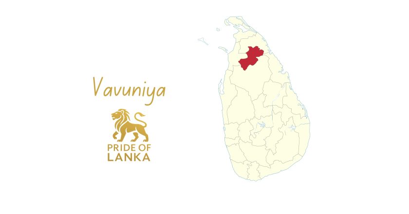
Vavuniya District stands at a unique and strategic crossroads in Sri Lanka’s geography and history. Located at the southern edge of the Northern Province, Vavuniya has long served as the main land gateway between the North and the rest of the island, a place of passage, exchange, trade, and connection. More than a transit town, Vavuniya is a district with its own deep roots in agriculture, water management, and community life, and a growing role in the economic and social integration of post conflict Sri Lanka. A Landscape of Tanks, Fields, and Dry Zone Plains Vavuniya lies in Sri Lanka’s dry zone and is shaped by wide plains, tanks, and irrigation based farming systems. Life here has always depended on careful management of water, and the district is supported by a network of...
Trincomalee: The Harbor of History and the Blue Gateway of Sri Lanka
Pride Of Lanka, Pride of Trincomalee

Trincomalee: The Harbor of History and the Blue Gateway of Sri Lanka

Trincomalee District stands on Sri Lanka’s north eastern coast as one of the most geographically blessed and historically significant regions in the Indian Ocean. Known for its magnificent natural harbor, ancient temples, and pristine beaches, Trincomalee has for centuries been a meeting point of trade, faith, empire, and strategy. More than just a beautiful coastal district, Trincomalee is a place where Sri Lanka’s past, present, and future converge with unusual clarity. One of the World’s Great Natural Harbors At the heart of Trincomalee’s global importance is its harbor. Trincomalee Harbour is one of the largest and deepest natural harbors in the world, protected by headlands and capable of sheltering entire fleets. For centuries, this harbor has attracted the attention of r...
Ratnapura: The City of Gems and the Gateway to the Sacred Peak
Pride Of Lanka, Pride of Ratnapura

Ratnapura: The City of Gems and the Gateway to the Sacred Peak

Ratnapura District stands at the southern edge of Sri Lanka’s central highlands, where rivers, rainforests, mountains, and deep alluvial plains come together to create one of the island’s most resource rich and historically famous regions. Known around the world as the “City of Gems”, Ratnapura has for over two thousand years been at the heart of Sri Lanka’s global reputation as Ratna Dweepa, the Island of Gems. Today, Ratnapura is both a center of gem mining and trade and a gateway to some of Sri Lanka’s most important natural and spiritual landscapes. The Land of Precious Stones Ratnapura is the center of Sri Lanka’s gem industry. The district’s river valleys and alluvial plains have produced sapphires, rubies, cat’s eyes, alexandrites, and many other precious and semi preci...
Puttalam: Lagoons, Salt Plains, and the Western Dry Zone Frontier
Pride Of Lanka, Pride of Puttalam

Puttalam: Lagoons, Salt Plains, and the Western Dry Zone Frontier

Puttalam District stands at the meeting point of Sri Lanka’s western coast and the north western dry zone interior, forming one of the country’s most diverse and strategically important regions. With long coastlines, vast lagoons, salt plains, coconut estates, and dry zone farming lands, Puttalam is a district shaped by water, sun, wind, and trade. Often overlooked in national narratives, Puttalam quietly supports some of Sri Lanka’s most important industries and ecological systems. A Landscape of Lagoons, Sea, and Dry Zone Plains Puttalam’s geography is dominated by the Puttalam Lagoon, one of the largest lagoons in Sri Lanka, stretching across much of the district and supporting fisheries, aquaculture, and coastal livelihoods. The district includes long coastal belts, san...
Polonnaruwa: The Stone Capital and the Triumph of a Hydraulic Civilization
Pride Of Lanka, Pride of Polonnaruwa

Polonnaruwa: The Stone Capital and the Triumph of a Hydraulic Civilization

Polonnaruwa District stands as one of Sri Lanka’s most historically important and visually striking regions, a land where stone monuments, vast reservoirs, and carefully planned cities tell the story of a sophisticated medieval civilization. As the island’s second great capital after Anuradhapura, Polonnaruwa represents a golden age of engineering, governance, art, and Buddhist culture. Today, Polonnaruwa is both a UNESCO World Heritage landscape and one of Sri Lanka’s most important agricultural districts, linking ancient wisdom with modern national needs. The Capital of Kings and Builders Polonnaruwa rose to prominence in the 11th and 12th centuries, especially under King Parakramabahu the Great, one of Sri Lanka’s greatest rulers and nation builders. His vision was clear an...
Nuwara Eliya: The Highlands, the Tea Country, and Sri Lanka’s Little England
Pride Of Lanka, Pride of Nuwara Eliya

Nuwara Eliya: The Highlands, the Tea Country, and Sri Lanka’s Little England

Nuwara Eliya District stands at the highest elevations of Sri Lanka, where cool winds, misty mountains, and rolling tea estates create a landscape unlike any other part of the island. Often called “Little England” because of its colonial-era architecture and climate, Nuwara Eliya is both a living highland resort and the very heart of Sri Lanka’s tea civilization. More than a tourist destination, Nuwara Eliya is a district that shapes the country’s economy, environment, and identity through tea, water, and mountain ecosystems. A Landscape Above the Clouds Nuwara Eliya contains Sri Lanka’s highest peaks, including Pidurutalagala, the tallest mountain in the country, and lies close to the Horton Plains plateau and World’s End, one of the island’s most dramatic natural viewpoints....
Mullaitivu: The Coast of Lagoons, Forests, and Quiet Renewal
Pride Of Lanka, Pride of Mullaitivu

Mullaitivu: The Coast of Lagoons, Forests, and Quiet Renewal

Mullaitivu District stretches along Sri Lanka’s north eastern coast, where the Indian Ocean meets wide lagoons, dense forests, and long, open beaches. It is a land shaped by water, sand, and wind, and also by one of the most difficult chapters in the country’s recent history. Today, Mullaitivu stands as a district of recovery, natural beauty, and steady rebuilding, where life is returning to fields, schools, fishing harbors, and village streets with patience and resilience. A Landscape of Sea, Lagoons, and Forests Mullaitivu has one of the longest and least disturbed coastlines in Sri Lanka. Its geography is dominated by sandy beaches, shallow seas, lagoons, and forested inland areas. The Nanthi Kadal Lagoon and several other water bodies shape both the landscape and the livelihoo...
Monaragala: The Land of Forests, Fields, and the Eastern Frontier
Pride Of Lanka, Pride of Monaragala

Monaragala: The Land of Forests, Fields, and the Eastern Frontier

Monaragala District stands as one of Sri Lanka’s largest and most resource-rich regions, a vast land of forests, rivers, tanks, and farming communities stretching across the south-eastern interior of the island. Often described as part of the modern Uva and Ruhuna frontier, Monaragala is a district of space, opportunity, and deep rural strength. Though less urbanized than many other regions, Monaragala plays a crucial role in Sri Lanka’s agriculture, mineral resources, and long-term development potential. A Landscape of Scale and Natural Wealth Monaragala is one of the largest districts in Sri Lanka by area. Its landscape includes dry-zone plains, forest reserves, rocky outcrops, and river basins that feed into the Menik Ganga, Kirindi Oya, and other important water systems. ...
Matara: The Southern Capital of History, Learning, and the Indian Ocean
Pride Of Lanka, Pride of Matara

Matara: The Southern Capital of History, Learning, and the Indian Ocean

Matara District stands at the southern edge of Sri Lanka, where the island opens fully to the Indian Ocean and where the cultural and intellectual traditions of the deep south have flourished for centuries. Long before modern administrative boundaries, Matara was one of the great cities of southern Sri Lanka, a center of governance, trade, religion, and scholarship. Today, Matara remains a major urban, cultural, and economic hub of the Southern Province, combining coastal life, inland agriculture, historic monuments, and modern education. A City Built on the Nilwala River The Nilwala River flows through the heart of Matara and has shaped the district’s geography, economy, and settlement patterns for generations. Its fertile basin supports paddy cultivation, coconut, and mixed ...
Mannar: The Island, the Causeway, and the Crossroads of Civilizations
Pride Of Lanka, Pride of Mannar

Mannar: The Island, the Causeway, and the Crossroads of Civilizations

Mannar District stands at Sri Lanka’s northwestern edge, where the Indian Ocean narrows toward South India and history feels unusually close. Defined by sea, salt, wind, and wide horizons, Mannar has for centuries been a gateway between the island and the subcontinent, a place of trade, faith, and movement long before modern borders existed. Today, Mannar is known for its unique island geography, deep religious significance, rich marine resources, and remarkable ecological landscapes, as well as for the resilience of its communities. A Geography Shaped by Sea and Sand Mannar is centered on Mannar Island and connected to the mainland by a narrow causeway. The district’s landscape is dominated by flat coastal plains, lagoons, sandbanks, and shallow seas, creating a very different en...
Toggle Dark Mode